Valvestino

Difficulty
Intermediate
Activity time
3:30
Duration in hours
Distance
16.5
Distance in km
Suggested period
Jan
Feb
Mar
Apr
May
Jun
Jul
Aug
Sep
Oct
Nov
Dec

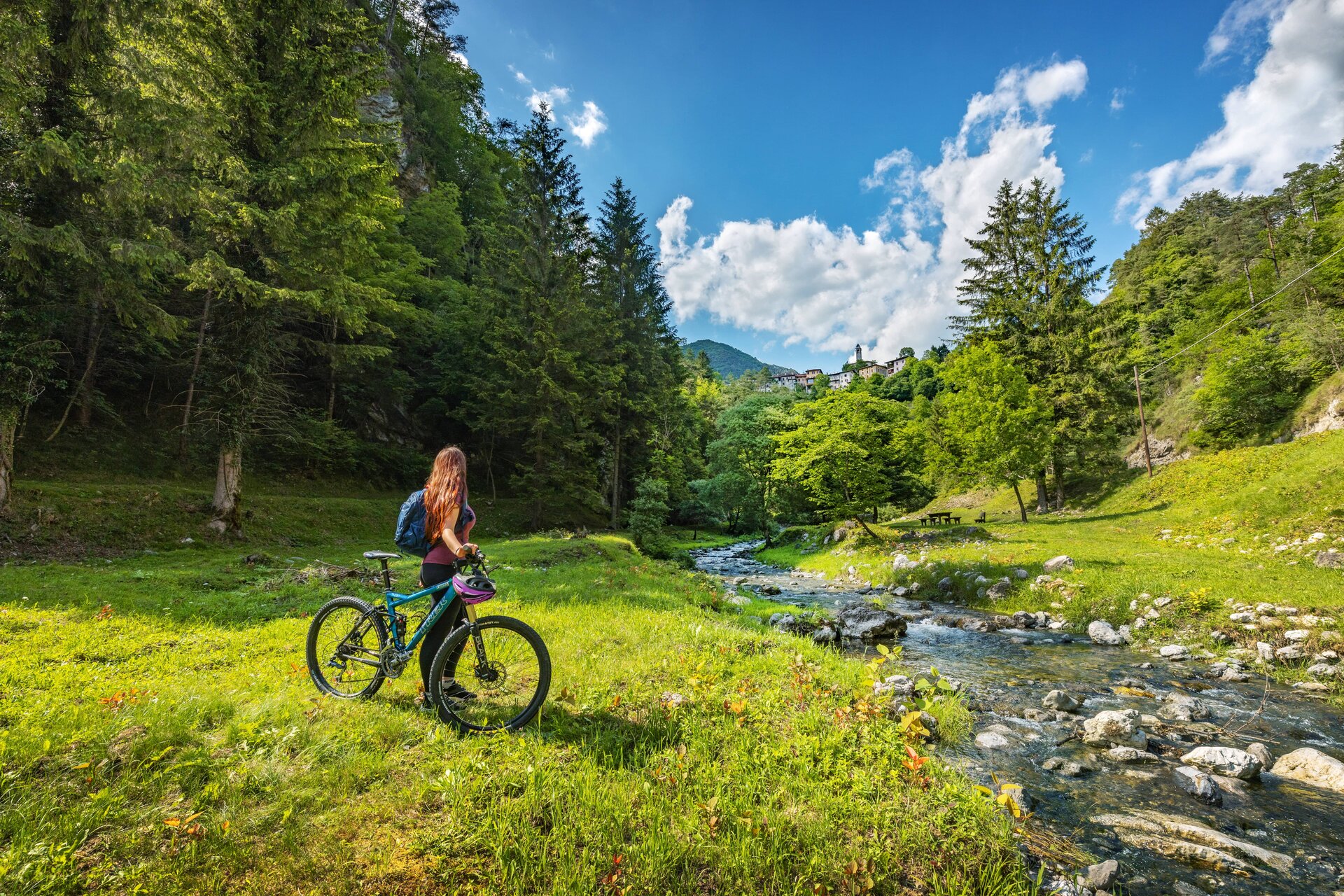
From Piazza Madonna Pellegrina (0,0 km), in the centre of Turano, after paying a visit to the parish church where you will enjoy a beautiful view of the valley, cycle down the provincial road to the crossroad for Armo (0,6 km), then ride on the steep road on the left. After a few hairpin bends (3,7 km), you will reach the small village of Armo. Its narrow streets will lead you to an ancient fountain and a church on the other side of the village, where the asphalted road turns into an untarmacked road. The trail continues along the valley of Armarolo stream, where on the first part you will reach the riverbed, then cycling uphill you may enjoy the splendid water sprites designed by nature through erosion over the millennia. Once in Ponte Franato village (7,0 km), beyond the bridge, cycle uphill on the road that covers the western side of the valley, until you reach the highest point of the excursion path (1100 m asl) close by a clearing called Messane (9,5 km). Here the view covers the mounts surrounding Valvestino area. At the crossroads, where the road is asphalted, follow the indications to the village of Persone. Cycling downhill, you will reach the small borough perched on the bend of the main road going to Turano. Through Persone (11,7 km) cycling uphill this time on an asphalted road, you will reach Moerna (14,0 km). Beyond this village, on the left of the provincial road there is the ancient road from Turano to Moerna (14,5 km) of which only a rough terrain remains, going through the wood and clearings. In 2 km you will reach once again the main square of Turano (16,5 km).

Route info
Intermediate
Distance
16,5 km
Activity time
3 h 30 min
Highest point
1.050 m
Safety guidelines

Make sure you take with you all the necessary equipment and clothes for excursions according to the season. Check the weather forecast the day before your trip and verify that the track is open on the day you choose. During the excursion do not deviate from the signalled path, respect the highway code and the environment, do not leave your waste along the path. The viability of the routes may not necessarily coincide with the indications, it needs to be verified permanently and periodically on the ground. The Author declines any responsibility for any accidents or damages that may occur on the proposed routes. 

Single emergency call number: 112

Punto di partenza

Valvestino, Turano, piazza Madonna Pellegrina, 658 m slm

public transportation

Turano can be reached by bus (www.arriva.it).

How to get there

Turano in Valvestino can be reached from Gargnano along the SP9 road that runs alongside the Valvestino dam, or alternatively from Idro. Parking available on the road reaching the village centre.

You might be interested in
Discover related tours
Intermediate
Gargnano-Valvestino
Distance 26,0 km
Activity time 3 h 30 min
Easy
Padenghe sul Garda-Soiano del Lago
Distance 12,5 km
Activity time 1 h 30 min
Easy
Desenzano del Garda-Pozzolengo
Distance 22,5 km
Activity time 2 h 00 min
Intermediate
Tignale
Distance 21,6 km
Activity time 3 h 00 min
Intermediate
Tremosine sul Garda
Distance 20,5 km
Activity time 3 h 30 min
Easy
Dal Garda a Montichiari
Distance 53,8 km
Activity time 4 h 00 min
Our main partners