Desenzano del Garda - Lonato del Garda

Difficulty
Easy
Activity time
3:00
Duration in hours
Distance
12
Distance in km
Suggested period
Jan
Feb
Mar
Apr
May
Jun
Jul
Aug
Sep
Oct
Nov
Dec

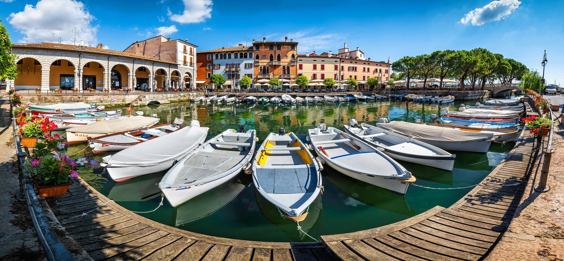
From the Porto Vecchio of Desenzano del Garda (65 m asl) it will come in the adjoining Piazza Malvezzi and at the porch first we take Via Annunciata, climbing, via Mazzini and then from via Murachette to the roundabout. From here there is still little to leave the center of Desenzano del Garda and enter the Park of Monte Corno. Continuing on Via Rimembranze, along the slopes of the hill where there is also the local hospital, cross the overpass of the freeway on which are evident the white and red marks of 801A path that will indicate the path to the final destination: The Abbey of Maguzzano. Leave the paved road and continue straight on the dirt road leaving the hospital on the left, going into the Park of Monte Corno, which includes a predominantly agricultural area west of the center of Gardesano and arrives to the lake between the locations Lido and Vò. It passes next to an abandoned farmhouse in close proximity to some high voltage pylons and next to a group of houses up to return on asphalt road passing under a brick arch. Turn right and follow the road to B&B La Casetta. At the next junction, proceed straight ahead paying attention to the white and red signs, leading up to the slopes of Mount Reciago (127 m asl). Continue to the left on the road with the same name that, past the agritourism and some scattered houses, reaches the Abbey of Maguzzano (115 m asl). In this last stretch, which is initially in the woods and then through cultivated fields, path n. 801A also coincides with the Desenzano - Brescia bicycle route. Before the return by the same route, it is worth to visit the Abbey founded by Benedictine monks in the ninth century.

Route info
Easy
Distance
12,0 km
Activity time
3 h 00 min
Highest point
150 m
Safety guidelines

Make sure you take with you all the necessary equipment and clothes for excursions according to the season. Check the weather forecast the day before your trip and verify that the track is open on the day you choose. During the excursion do not deviate from the signalled path, respect the highway code and the environment, do not leave your waste along the path. The viability of the routes may not necessarily coincide with the indications, it needs to be verified permanently and periodically on the ground. The Author declines any responsibility for any accidents or damages that may occur on the proposed routes. 

Single emergency call number: 112

Punto di partenza

Desenzano del Garda, Porto Vecchio, 65 m slm

public transportation

Bus service to Desenzano del Garda available (www.arriva.it), also trains (www.trenitalia.com, www.italotreno.it) and by boat with Navigazione Lago di Garda (www.navlaghi.it).

How to get there

Desenzano del Garda is well connected to the road network and has its own highway toll booth. Wide opportunity to leave the car in the various car parks of the town.

You might be interested in
Discover related tours
Difficult
Valvestino
Distance 13,0 km
Activity time 5 h 00 min
Intermediate
Magasa
Distance 10,6 km
Activity time 4 h 00 min
Intermediate
Gargnano
Distance 7,5 km
Activity time 5 h 30 min
Easy
Sirmione
Distance 9,0 km
Activity time 3 h 00 min
Intermediate
Gardone Riviera
Distance 12,0 km
Activity time 4 h 00 min
Intermediate
Toscolano - Maderno
Distance 16,0 km
Activity time 4 h 30 min
Our main partners