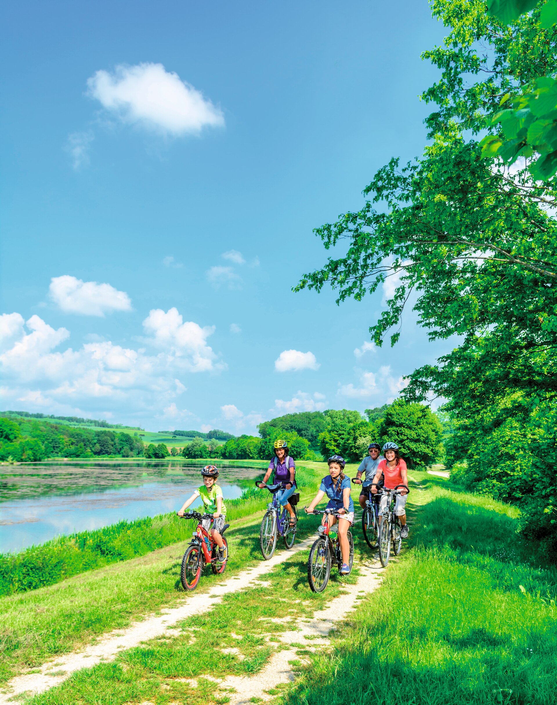
Dal Garda a Mantova
A classic itinerary, suitable for everyone, that allows you to connect Lake Garda with the city of Mantua. Start at the Desenzano del Garda lakeside, at the old port, and continue in the direction of Sirmione for 3.35 km. Turn right at the roundabout onto via Padre Annibale di Francia, then left onto via Giovanni XXIII and right again onto via Colli Storici and via Tese. Here is your first glimpse of the rural landscape that best represents the glacial tills to the south of Lake Garda: having passed under the railway line (5.8 km), keep to the left until the road curves more sharply to the south, passing the A4 motorway (7.5 km). As you tackle the continual upwards and downwards slopes of the route, admire the geometric rows of Lugana grape vines that cloak the land, before reaching the Tower of San Martino della Battaglia (10.3 km, 116 m asl). Continue past the roundabout towards the villages of Cobue Sotto, Cascina Ceresa and San Giacomo Sotto, still surrounded by beautiful rows of grape vines, until you come to Pozzolengo (15 km, 115 m asl). Continue past this, as well as the SP13, along Via Monzambano until you cross Strada San Pietro (16.8 km, 95 m asl) on the left, which you then follow in its entirety, enjoying the pleasant ups and downs of the route, until you come to Monzambano (21.8 km, 88 m asl). After crossing the Virgilio Canal and the Mincio River, take the beautiful flat cycle path southwards that leads to Mantua, passing through Valeggio sul Mincio and Borghetto (27.6 km), which are certainly worth stopping for, so that you can enjoy them at a leisurely pace. Keeping the Mincio River on your right, you will come to Pozzolo sul Mincio (35 km) followed by Soave with its Bosco Fontana Nature Reserve (48 km). Here you switch banks, crossing the Mincio Diversivo before leaving the river behind for good (52.3 km) and arriving at the beautiful city of Mantua a little further south.