Magasa
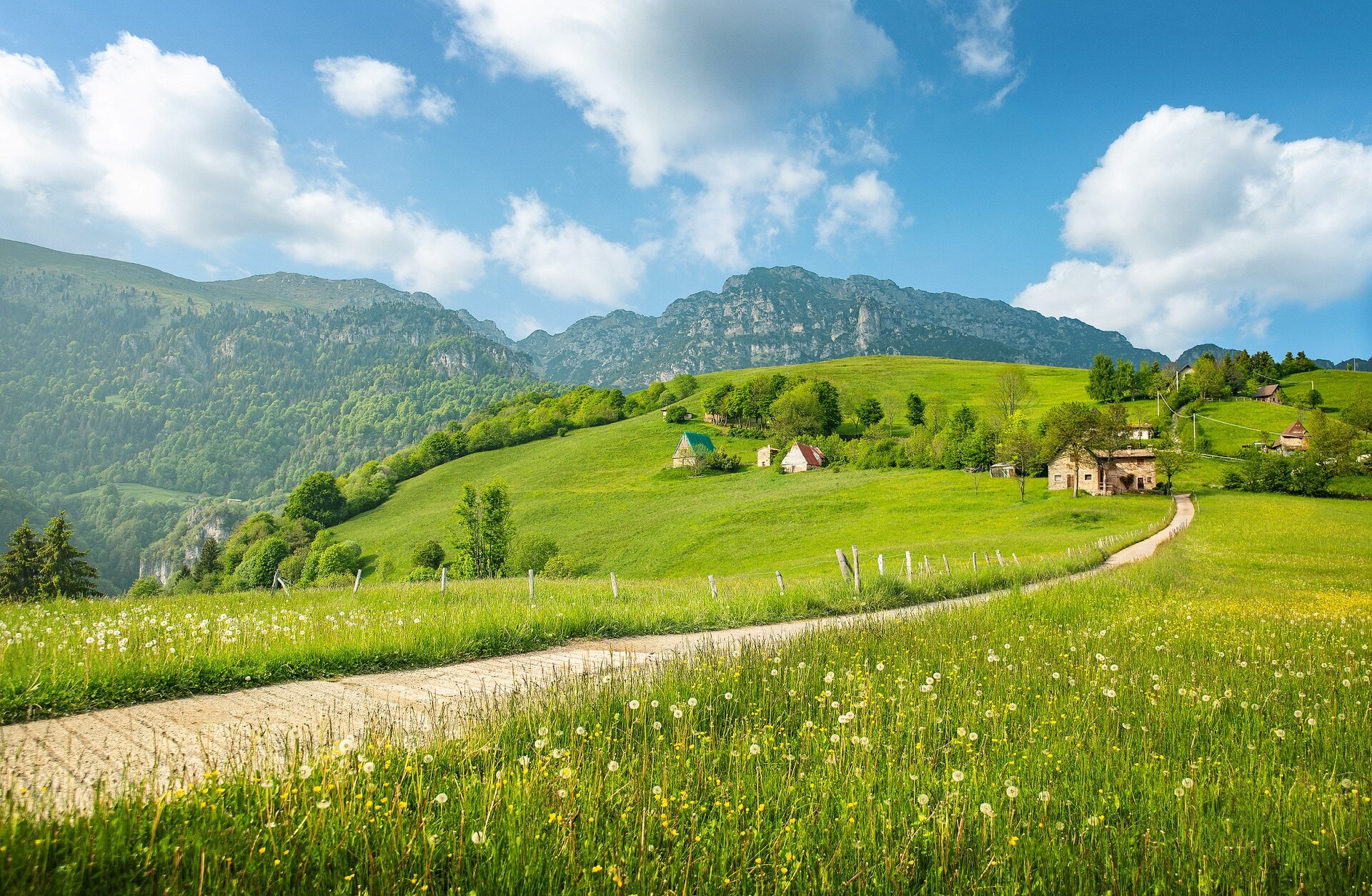
The trail begins at Rest, where characteristic Austro-Hungarian barns can be admired. One of these typical thatched-roof structures houses the Valvestino Ethnographic Museum, which recounts the history and traditions that have shaped the area. A few metres before the little church of the Alpini (1210 m asl), the itinerary follows a concrete road (path no. 299) that unwinds on the fields heading north. This road goes uphill toward the meadows of Rest, and is characterised by the typical barns of Austrian- Hungarian origins, and by monumental century-old beech trees. Once you go past Malga Alvezza (1265 m asl), continue until you reach a sharp turn. Forget about the indications to Bocca di Cablone and Monte Tombea (a longer trail can be done by MTB), and follow the path no. 267B. The mule road goes uphill through green fields, a wood made of fir and beech trees, with breathtaking views on Magasa and the fields of Denai. Waded a small river, walk on to the end of the wood, where you should follow a series of grassy hills and a rivulet joining an untarmacked road. Follow the path to the crossroads, turn left and walk past Malga Tombea (1820 m asl) (this short stretch cannot be done by bike). The pride of this area is the Tombea cheese. With its own Slow Food presidium, it is considered one of the finest alpine dairy products. Its distinctive feature is a delicate, pleasant flavour with a vanilla aftertaste. Moving on, on the right an old defensive military mule road will take you in a few minutes on top of Monte Tombea (1950 m asl), an amazing panoramic spot ovelooking both Pianura Padana with lake Garda, and the highest peaks of Adamello and Dolomiti di Brenta mountain chains. The whole area is of great botanical interest thanks to endemic flora such as Saxifraga tombeanensis. Just walk back on the same path to return to the starting point.