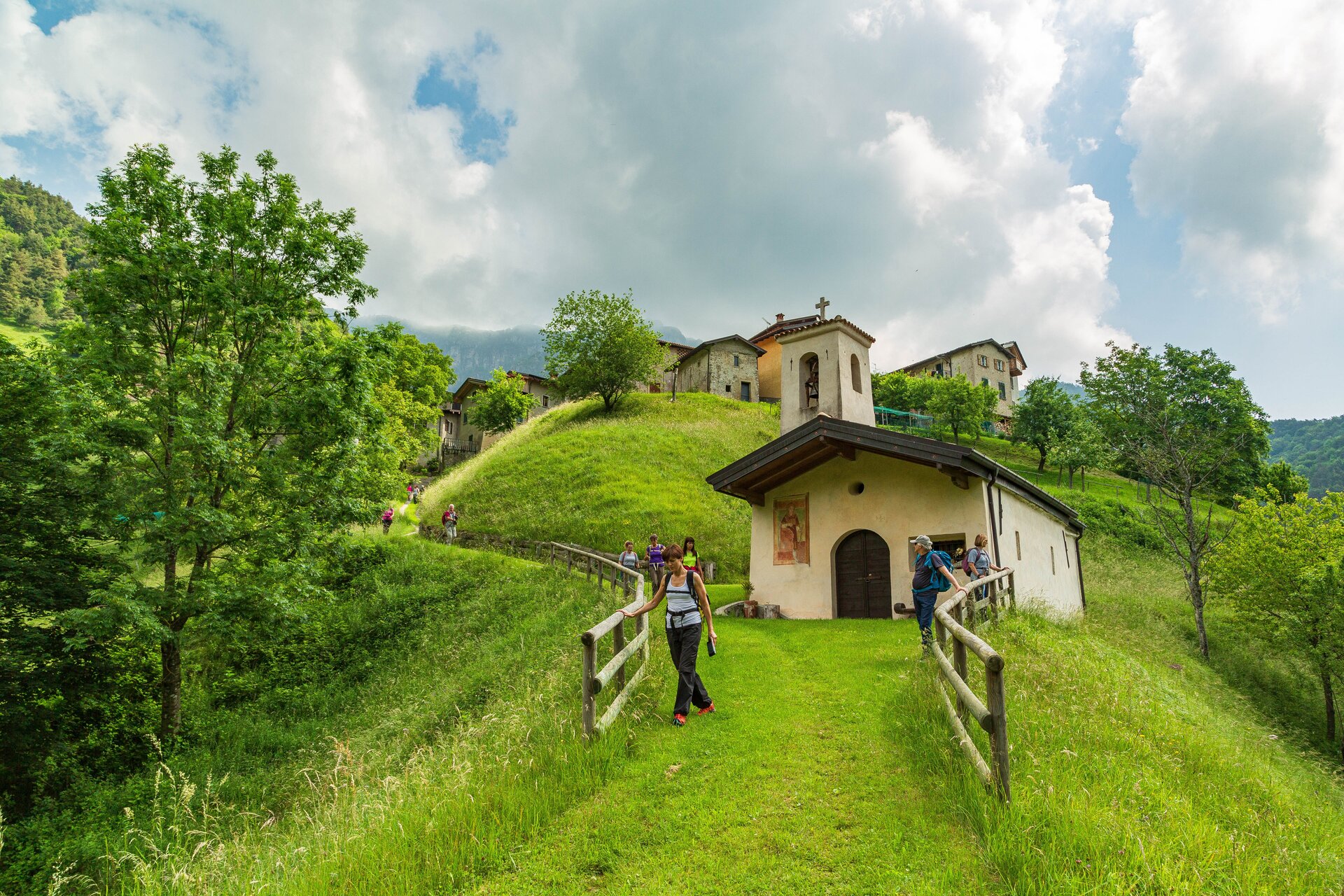
Magasa

Difficulty
Intermediate
Activity time
4:30
Duration in hours
Distance
15.2
Distance in km
Suggested period
Jan
Feb
Mar
Apr
May
Jun
Jul
Aug
Sep
Oct
Nov
Dec

From the carpark (1205 m asl) we go over a paved road for a few meters coming from Magasa until you cross the path n. 268 that, descending to the right, leads to the tiny hamlet of Cadria (918 m asl) the smallest and most isolated hamlet of Valvestino, an ancient settlement of Celtic people, consisting of a tiny agglomeration of houses originally associated with the church, located in a dominant position towards the end of the winding valley of the Droanello stream. Here, after crossing the nucleus of houses, it is worth following a short detour for the small but pretty Church of San Lorenzo, which rises on the slope just below the village. Going back on our footsteps, along the path no. 268, which runs on this stretch of road almost flat, you can reach the isolated barns of Proalio (965 m asl). At this location the trail begins to climb more decisively along the Valley of the Era to the crumbling Malga Puria and then to the homonymous pass (1374 m asl), characterized by a wild and solitary environment particularly rich with chamois, roe deer and ibex. At this point in the Termen area continue for a long and pleasant stretch (path no. 299) beneath the steep and imposing ridge of Cima del Costone and Bus de Balì, to cross the Proalio torrent (1298 m asl) and to reach location Grune to the crossroads for Monte Tombea and Magasa. The area is lush with beautiful vegation, from dense woodland to vast meadows and glades. It continues towards Malga Alvezza (1295 m asl) along a pleasant dirt track up to overcome it and, after a short climb, it continues downhill with nice views of Valvestino and the typical Austro-Hungarian barns with thatched roofs: there are several along the route, all unique but built in the same way. Once on the paved road, after a few dozen meters on the left, you reach the carpark again where the itinerary ends.

Route info
Intermediate
Distance
15,2 km
Activity time
4 h 30 min
Highest point
1.374 m
Safety guidelines

Make sure you take with you all the necessary equipment and clothes for excursions according to the season. Check the weather forecast the day before your trip and verify that the track is open on the day you choose. During the excursion do not deviate from the signalled path, respect the highway code and the environment, do not leave your waste along the path. The viability of the routes may not necessarily coincide with the indications, it needs to be verified permanently and periodically on the ground. The Author declines any responsibility for any accidents or damages that may occur on the proposed routes. 

Single emergency call number: 112

Punto di partenza

Magasa, car park in front of the characteristic thatched-roof bar and restaurant, 1205 m slm

public transportation

Bus service available reaching Magasa (www.arriva.it), about 40 minutes on foot from Cima Rest.

How to get there

The meadows of Rest can be reached from Gargnano (deviation for Magasa along Strada Statale 45 bis Gardesana Occidentale), but also from Idro (deviation for Capovalle along SS237). Parking is available near the little church of the Alpini or opposite the traditional bar-ristorante with the typical thatched roof.

You might be interested in
Discover related tours
Easy
San Felice del Benaco
Distance 2,5 km
Activity time 2 h 30 min
Easy
Tremosine sul Garda
Distance 10,0 km
Activity time 4 h 00 min
Easy
Polpenazze del Garda - Padenghe sul Garda
Distance 11,0 km
Activity time 3 h 30 min
Intermediate
Gargnano
Distance 7,5 km
Activity time 5 h 30 min
Difficult
Tremosine sul Garda - Limone sul Garda
Distance 15,0 km
Activity time 5 h 00 min
Intermediate
Gardone Riviera
Distance 12,0 km
Activity time 4 h 00 min
Our main partners