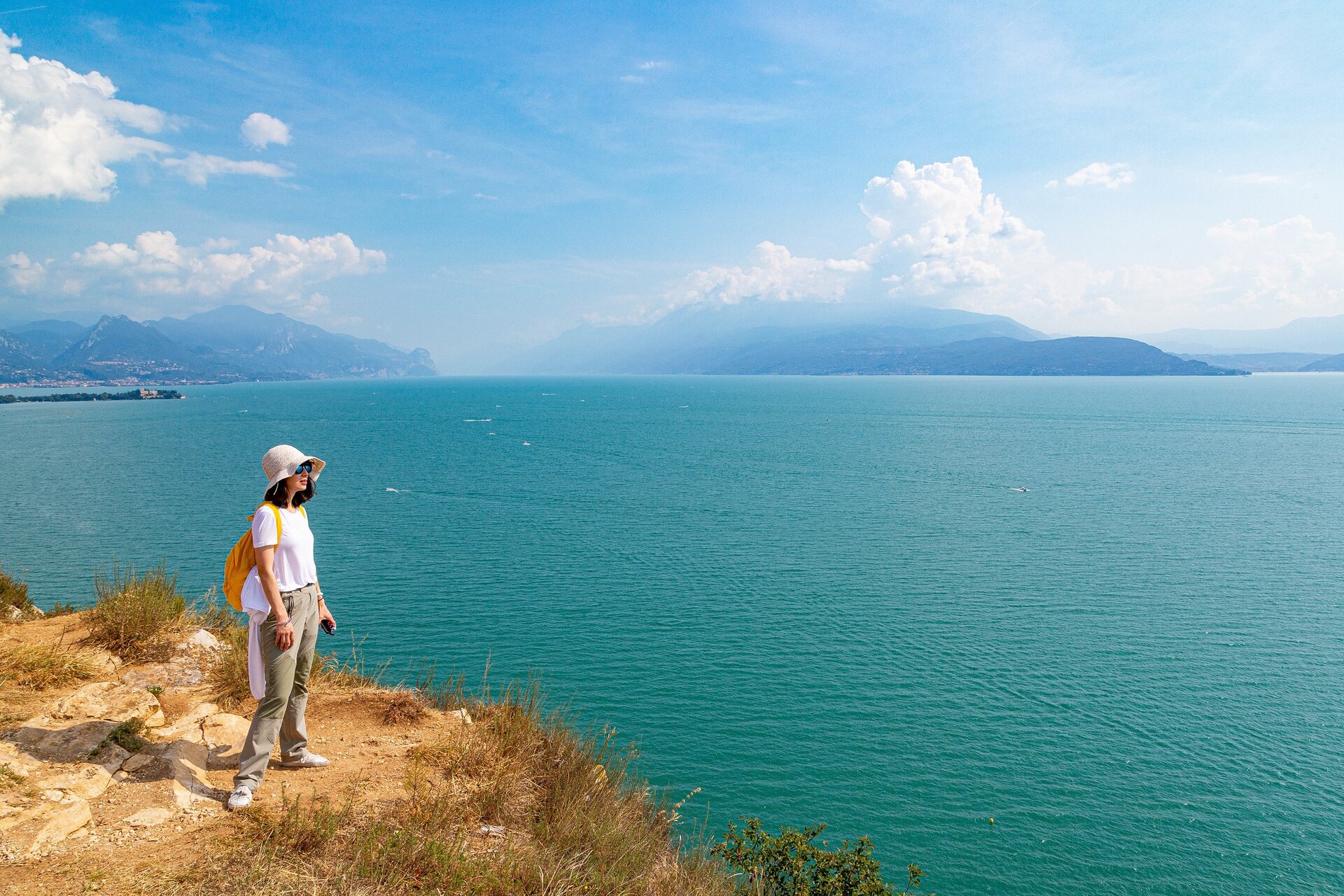
Manerba del Garda

Difficulty
Easy
Activity time
2:30
Duration in hours
Distance
6.5
Distance in km
Suggested period
Jan
Feb
Mar
Apr
May
Jun
Jul
Aug
Sep
Oct
Nov
Dec

Leaving from the centre of Montinelle, from the parking located on the corner between via Gabriele d’Annunzio and via I° Maggio. After having visited the small village, which centre offers a beautiful view of the surrounding hills, continue on via Carducci headed south-east. At the end of the stone wall turn left on via Pralungo, then right on Via Sadat. Here, turning left, you enter the natural reserve and the road is not asphalted any more. Turn into via Marinello going uphill. Once beyond the hill you will reach a crossroads where you see a table with benches and a map of the reserve. Before entering the path leading you through the olive trees in the fields, stop by the beach located right on the foot of the rocky sides of the promontory. To reach the lake take the downhill path to the beaches below, then go back through the same track. Continue northbound among the olive trees: at the end of the field you will cross a path which, on the right, will take you on the edge of the promontory with splendid views on the low lake. Walk on the edge beyond the spot marked “Alta Velocità”, which used to be employed in the last century for seaplane contests, then stop by the panoramic point. Walk downhill in the wood until you reach a crossroads with four roads, follow the path going uphill and, after ten minutes, you should reach the relics of the cross on top of the Stronghold. Back to the crossroads keep on the right and after 150 m through the field on the right you will reach the unmade road and finally the starting point.

Route info
Easy
Distance
6,5 km
Activity time
2 h 30 min
Highest point
215 m
Safety guidelines

Make sure you take with you all the necessary equipment and clothes for excursions according to the season. Check the weather forecast the day before your trip and verify that the track is open on the day you choose. During the excursion do not deviate from the signalled path, respect the highway code and the environment, do not leave your waste along the path. The viability of the routes may not necessarily coincide with the indications, it needs to be verified permanently and periodically on the ground. The Author declines any responsibility for any accidents or damages that may occur on the proposed routes. 

Single emergency call number: 112

Punto di partenza

Manerba del Garda, Montinelle, via G. D'Annunzio, 120 m 

public transportation

Manerba del Garda can be reached by bus (www.arriva.it).

How to get there

Manerba del Garda can be easily reached from Salò or Desenzano del Garda via SP572. Parking available nearby the starting point.

You might be interested in
Discover related tours
Intermediate
Magasa
Distance 15,2 km
Activity time 4 h 30 min
Easy
Tremosine sul Garda
Distance 10,0 km
Activity time 4 h 00 min
Easy
Pozzolengo
Distance 5,7 km
Activity time 1 h 30 min
Intermediate
Gardone Riviera
Distance 12,0 km
Activity time 4 h 00 min
Intermediate
Tignale
Distance 10,5 km
Activity time 4 h 30 min
Intermediate
Toscolano - Maderno
Distance 16,0 km
Activity time 4 h 30 min
Our main partners