Toscolano - Maderno
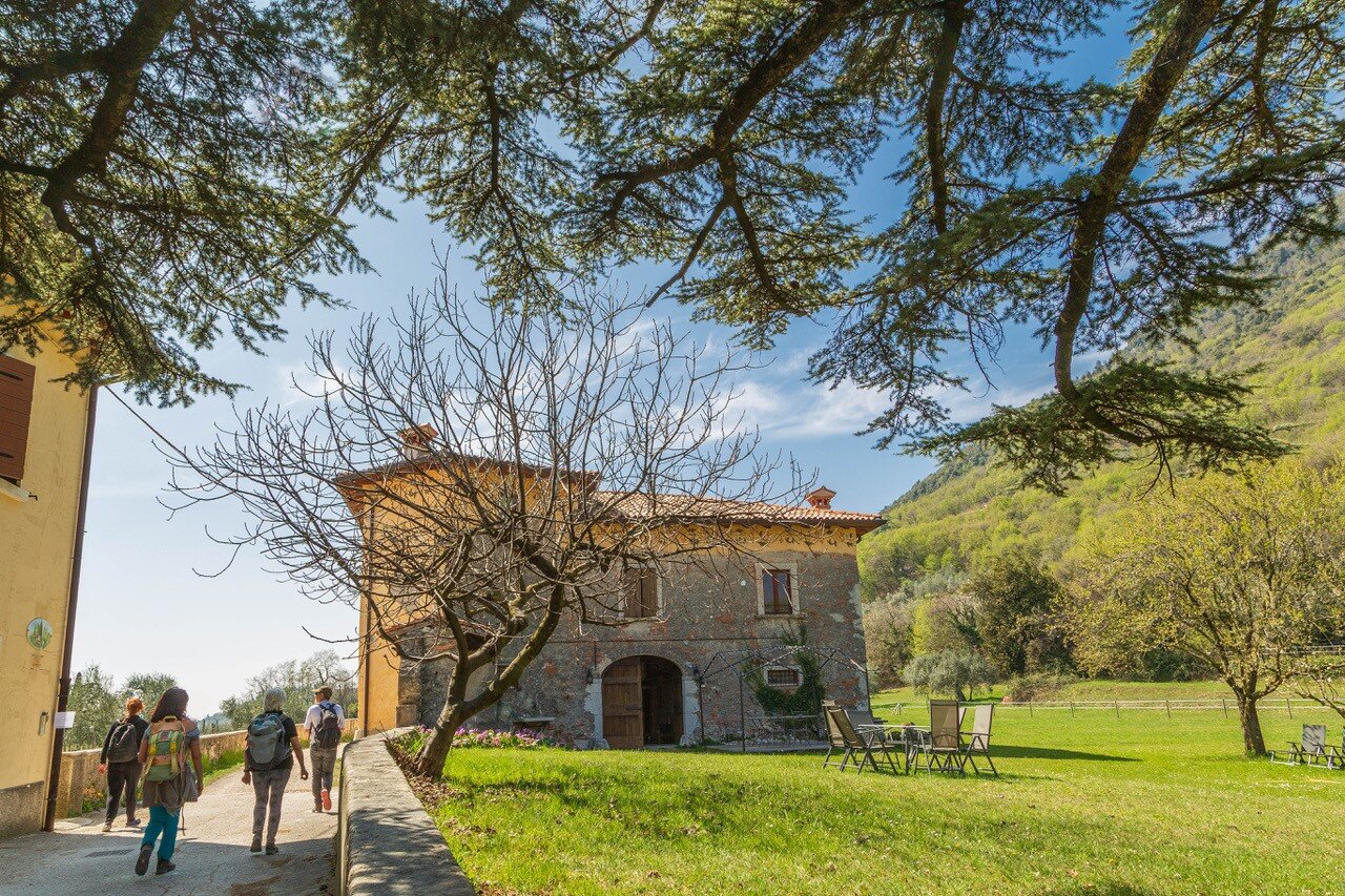
The itinerary starts from Piazza San Marco (68 m asl) in front of the beautiful church of Sant'Andrea. Following the urban route of the Cammino di Sant'Ercolano, continue along its western side on via Benamati. Proceed along via Cavour and via Solino to the ancient bridge over the Toscolano stream. Pass the entrance to the town hall and cross the road to take via Pulciano-Gaino. Here, do not follow the road, but the pedestrian path that cuts through the hairpin bends until we reach the hamlet of Gaino (275 m asl). After passing through the village along via Andrea del Sarto, follow the signpost for BVG (Bassa Via del Garda) along an asphalt road passing through Folino and Cabiana, including a lovely stretch through olive groves and meadows with great views towards the Veronese shore of Lake Garda. Having passed Scarpera (223 m asl), keeping Monte Castello di Gaino on the left at all times, a pleasant unpaved road takes you past Cervano to a votive chapel. From here, follow the signs for the Church of Madonna di Supina (245 m asl). After taking a break there, enjoy a pleasant descent in the shade and then again through olive trees to Fornico (192 m asl). From here, take the first road that descends to the right along the street of the same name, leaving the BVG, and then take an immediate right to return southwards, following first via Morgnaga and then via Roina. Having passed the hamlet of Roina with its ancient wash-house, turn right onto via Golf and after about 200 m, turn left onto via San Giorgio until you reach the little church of the same name. You are on the ancient Strada Regia (Royal Road) that led from Toscolano to Gargnano, before the Gardesana Occidentale was built. Follow this by turning onto via Marsina until you reach the hamlet of Cecina (123 m asl), then continue uphill to the square of tiny Cussaga. From here, via Caronte takes you downhill to Pulciano. Proceed left along Via Genova between high stone walls and along via Piè Costa to arrive in Toscolano. Follow via Trieste, first, then via Trento. Cross the SS45Bis to reach via Marconi and the beautiful lakeside promenade, which you follow in its entirety until you return to Piazza San Marco.