Valvestino-Magasa
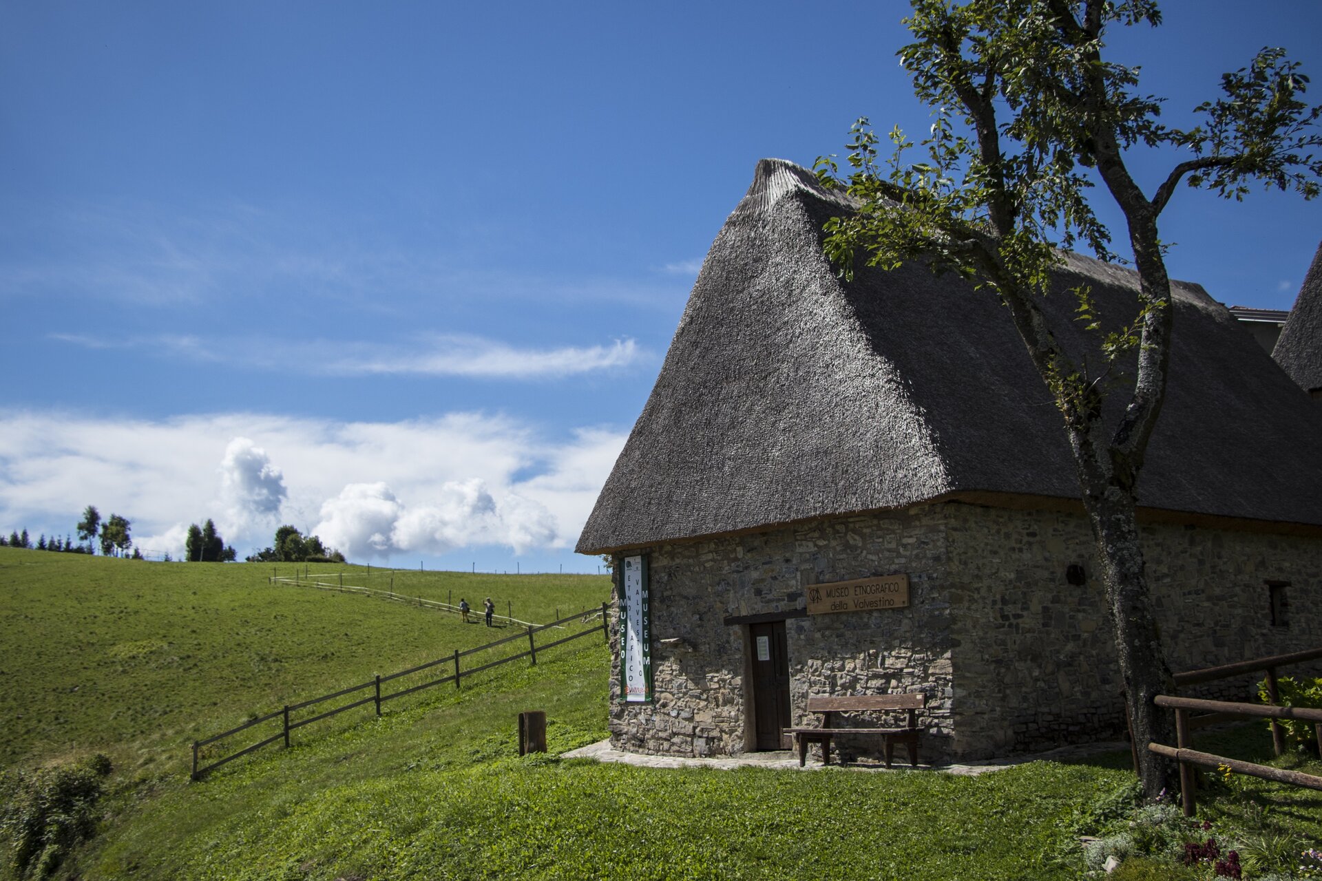
At the northern end of the dam of Valvestino you reach Molino di Bollone (0,0 km) where you park near the bridge. The first route kilometers develop on the road that goes in the direction of Magasa, which runs alongside the river Toscolano first, and then the Magasino. The slope is initially moderate, then it increases in correspondence with the curve to the right and the bridge that allows to bypass the stream Armarolo, but does not require excessive effort. At the village of Magasa (7,8 km) it continues to pedal to the plateau of Rest, passing under the rocky outcrop of Rocca Pagana. There are now a couple of miles of more steep climb, with a wide panorama that opens in the direction of Mount Tombea and Caplone, the highest peak in the Lombardy Garda. The climb ends at the small church of Rest Alpini (1211 m asl), from which you can admire the vast meadows of Rest that make up a large quiet and suggestive landscape. After passing the small nucleus of restored barns of Cima Rest (11,5 km), it goes downhill to Cadria for another kilometer until you see, just beyond the first bend to the left, a road to the right on which you enter. The descent continues along path no. 292, a dirt road and then a track alongside the stream. After passing an old boundary stone marking the former border between the Austro-Hungarian Empire and the Kingdom of Italy, the route becomes wilder for a short while, even requiring cyclists to cross the small stream several times (due to its characteristics, this stretch should only be tackled by experienced cyclists). The path no. 292, turns back into an easy dirt road near Droane, continuing until it reaches the bridge of the provincial road (22 km), before turning right to join this road and return to Molino di Bollone.